I’m sure many runners have dreamed of linking Wellington’s extensive network of ridgelines together into a single trail circumnavigating the urban fringes to showcase everything the city has to offer in terms of views, flora, fauna, geography and historical sites.
Wellington city is custom-made for an urban trail ultra. Climate and geography have gifted us an abundance of accessible hilltops that afford panoramic harbour and city views. The town is crammed into the small patch of flat land around Wellington Harbour like a sleeping bag squished into a stuff sac. Inside the stuff sac is a crunched up maze of green belt interspersed with a complex network of ground trails, single track and walking tracks. Wellington City Council has over the years on our behalf carefully extended this collection of paths in collaboration with local recreation groups, particularly the mountain biking community.
Not only could an urban run link Wellington’s iconic urban trails, but because the route would traverse the heart of the city it would have multiple entry and exit points giving runners the option of completing the route in modules.
This flexibility along with its unrivalled proximity would give an urban run a point of difference relative to more remote trails. It would be perfect for training as you could do as much or as little as you wish. If you were struggling to organise transport, or you discover you have bitten off slightly more than you can chew or develop an injury, or the weather packs in, (always a possibility in Wellington), you would never be far from a bus stop or road. There would be cell phone coverage the whole way and good cafes just down the hill where you can meet your non running buddies for a beer or a coffee and cake.
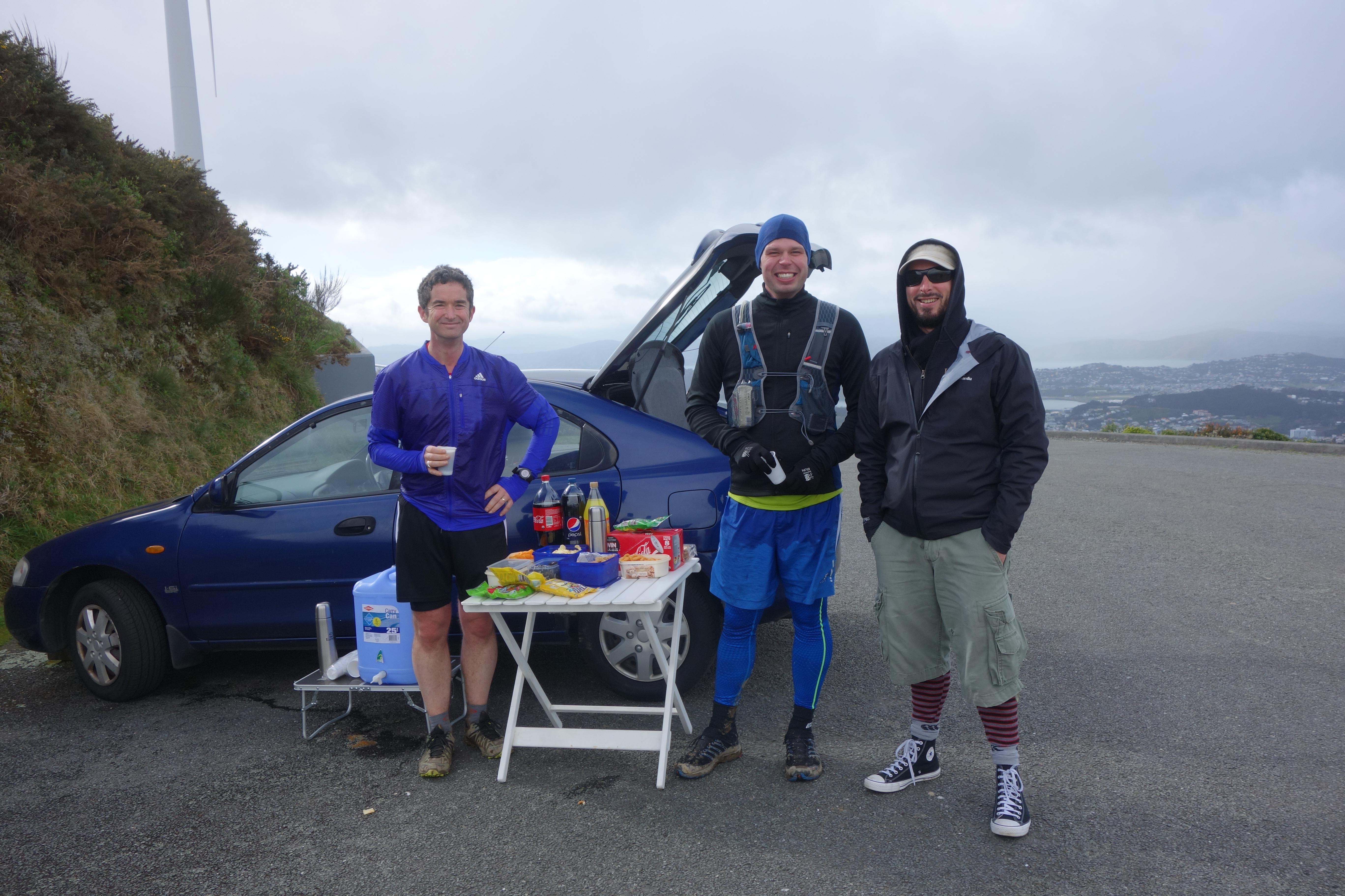
This winter local running enthusiast Gareth Thomas translated the dream into action.
WUU2K
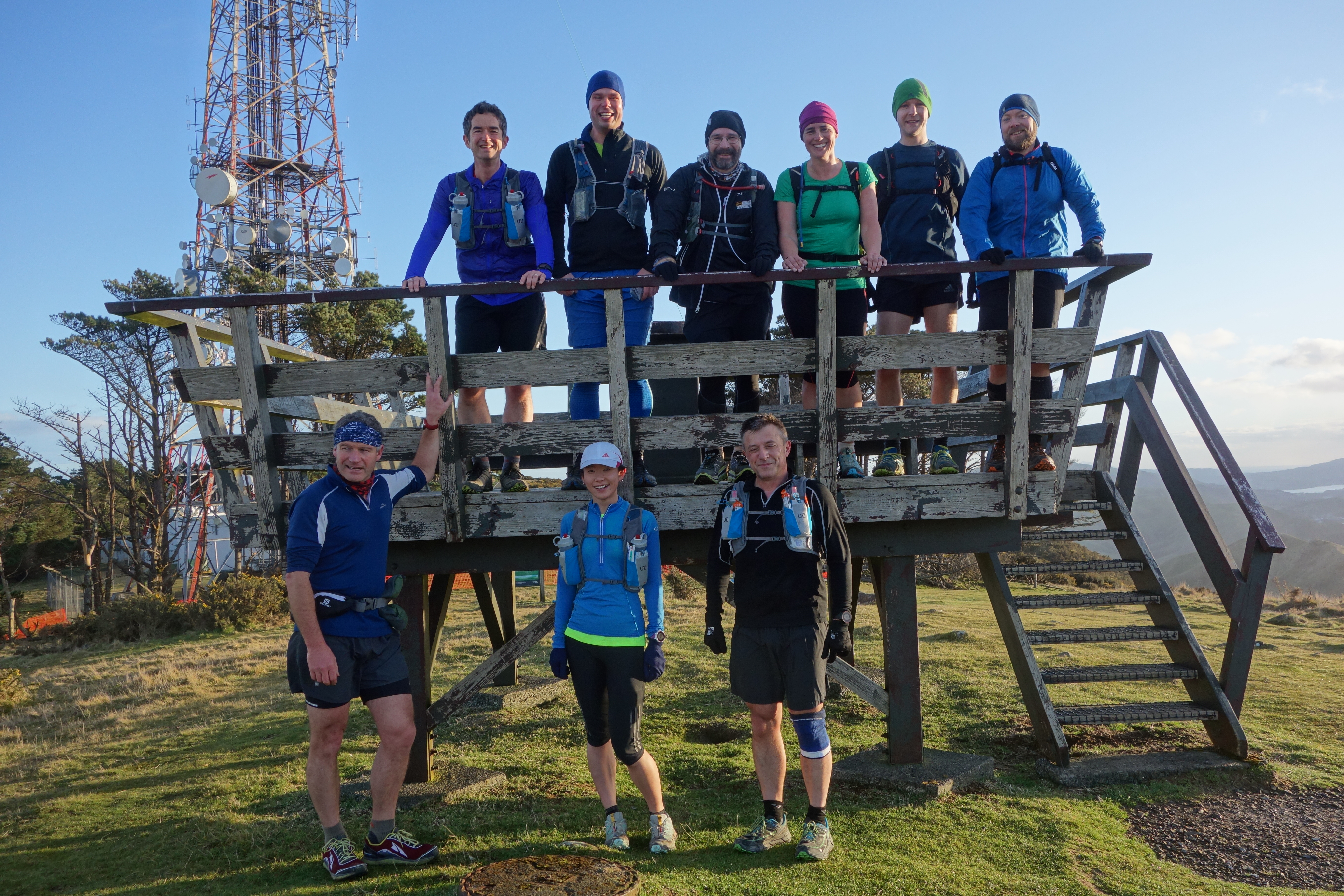
A trail run, christened the Wellington Urban Ultra Two Kilometre – WUU2K, (the 2k stands for the total height gain over the approximately 50km course) is in the development phase and will hopefully, subject to planning permission being obtained, kick off as a fully- fledged event in 2016. It will start at Kandallah and go all the way to the inner city suburb of Mt Victoria encompassing five of Wellington’s iconic peaks Mt Kaukau, Makara Peak, Wrights Hill, the Windmill, Mt Albert and Mt Victoria.

Gareth, and his mate Stu had already spent numerous weekends exploring the entire route in full and section by section before deciding to undertake further testing by harnessing the people power of WoRM aka The Wellington Running Meet Up Group. WoRM is the “go to” running group in Wellington, established in October 2010 by Ewa and Brent and sporting over 1,000 members it’s something of a dream come true itself. A collaborative, friendly, inclusive, supportive community organising runs for runners. If you want to conduct a running experiment WoRM is the perfect petri dish.

Gareth posted his run on WoRM and on 12 July a crew of running freaks put their paces through his run. Some ran it modular style entering and exiting at various points along the way. Supporters turned up at Wrights Hill to cheer us on and again at the Mt Vic finish line. Gareth and Stu collected feedback on the route and made further adjustments. Measuring distance covered precisely is complicated when everyone’s GPS watch tells a slightly different story. There are lots of things to consider in terms of route selection, logistics and safety. On 16 August Gareth was ready for another run through, this time as a slightly more formal dress rehearsal. There would be aid stations but it would not be a competitive “race”. Participation would again be limited to WoRMers. As in July people were welcome to tag in and out as commitments, fitness and injuries permitted.

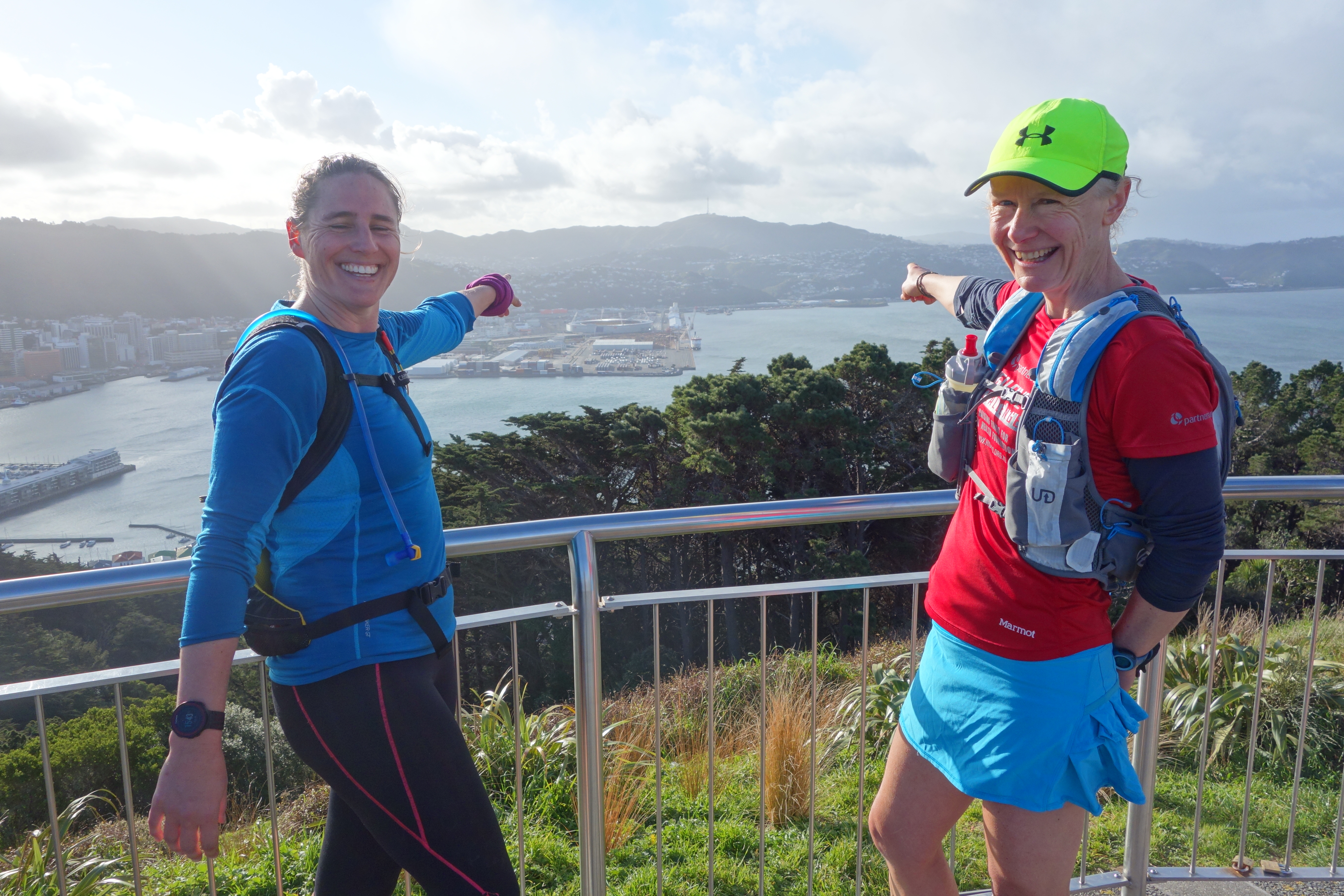
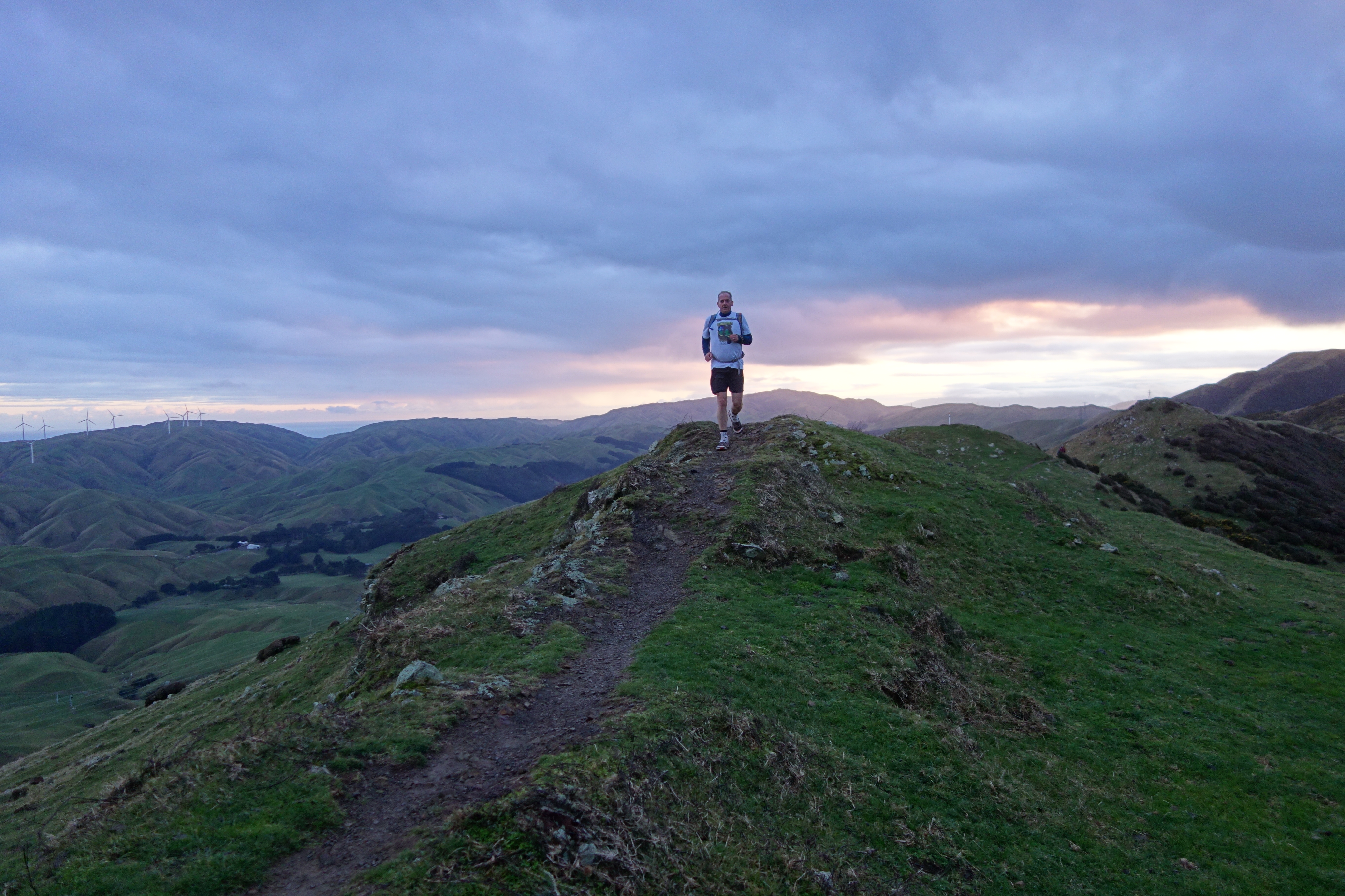
Sunrise on the Skyline
For the August run there are two groups starting an hour apart from the Woodmancote Road car park in Kandallah, a “slow” and a possibly “faster” group, the Tortoises and the Hares. The plan is that we will all finish at roughly the same time 7-8 hours hence. It’s a little dark when the Tortoises assemble for a 7.30am start but unlike July there is no need for head torches. Gareth takes a few photos and wishes us good luck then we are off up the first of the days many sets of stairs. If Auckland is the city of sails then Wellington is the city of stairs.
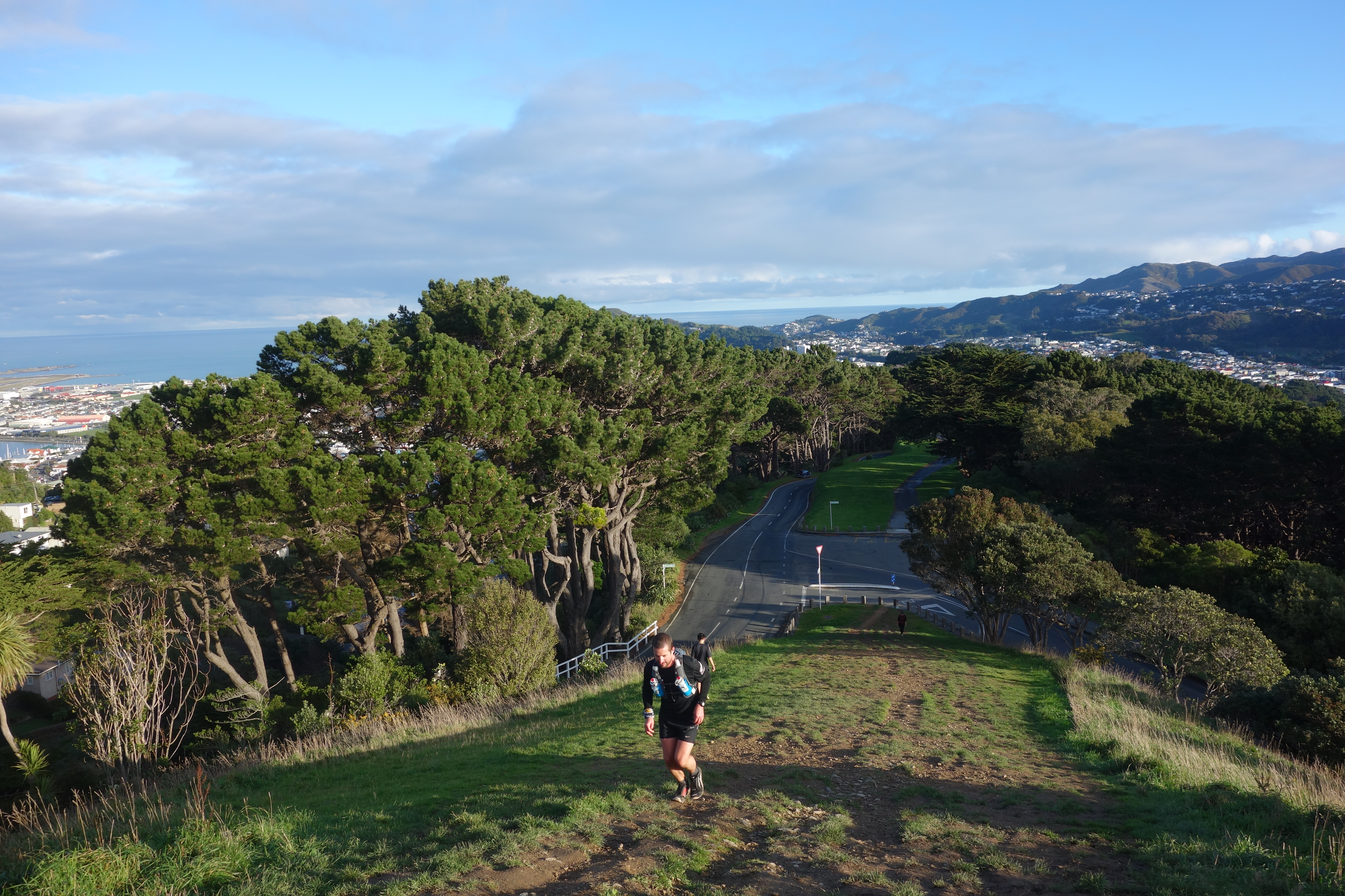
If Wellington has a classic trail run it is probably the Skyline walkway which takes in the western ridges high above the city starting from Johnsonville’s Old Coach Road in the north and heading south to Makara Road in Karori. To the west lies the Tasman Sea with views across the top of the South Island to the Marlborough Sounds and the snow-capped Kaikoura range with Meridian’s wind farms in the foreground. To the east are the suburbs of Johnsonville, Kandallah, Nagio, Northland, Karori and views across to the Hutt Valley, Wellington Harbour, Mt Victoria and the Tararua and Orongorongo ranges.
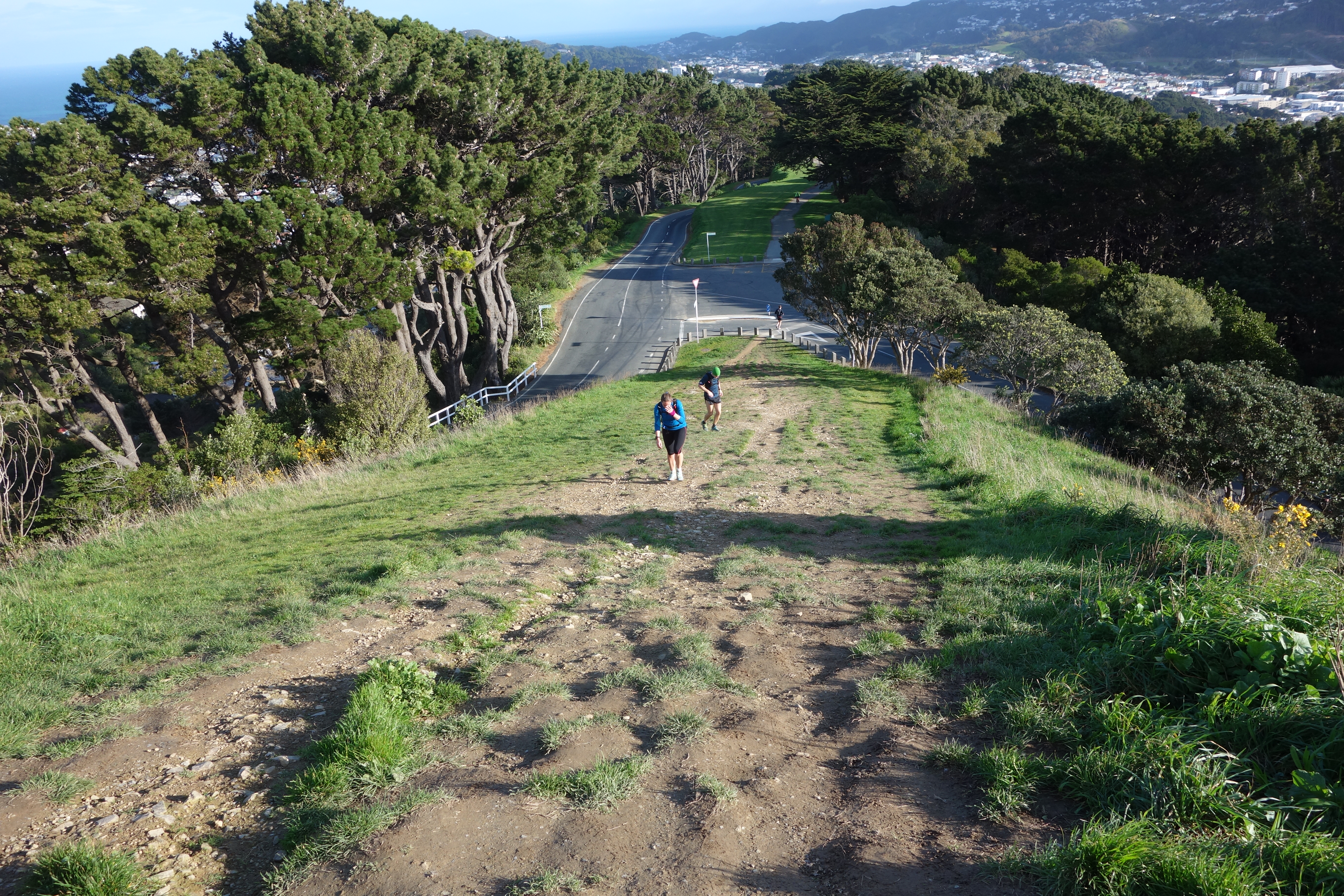
After a quick regroup on Mt Kaukau (445m) we head off across the undulating grassy ridge tops that mark the skyline. This is the easiest travel we will encounter all day and unusually for an exposed ridgeline there is little wind – conditions to be savoured. Strategically placed fluro-yellow capped marker poles light the way for anyone unsure of which of the many ground trails to follow. There is a risk of being chased by curious livestock though today we are only chasing each other plus dodging cow pats and the occasional patch of mud.
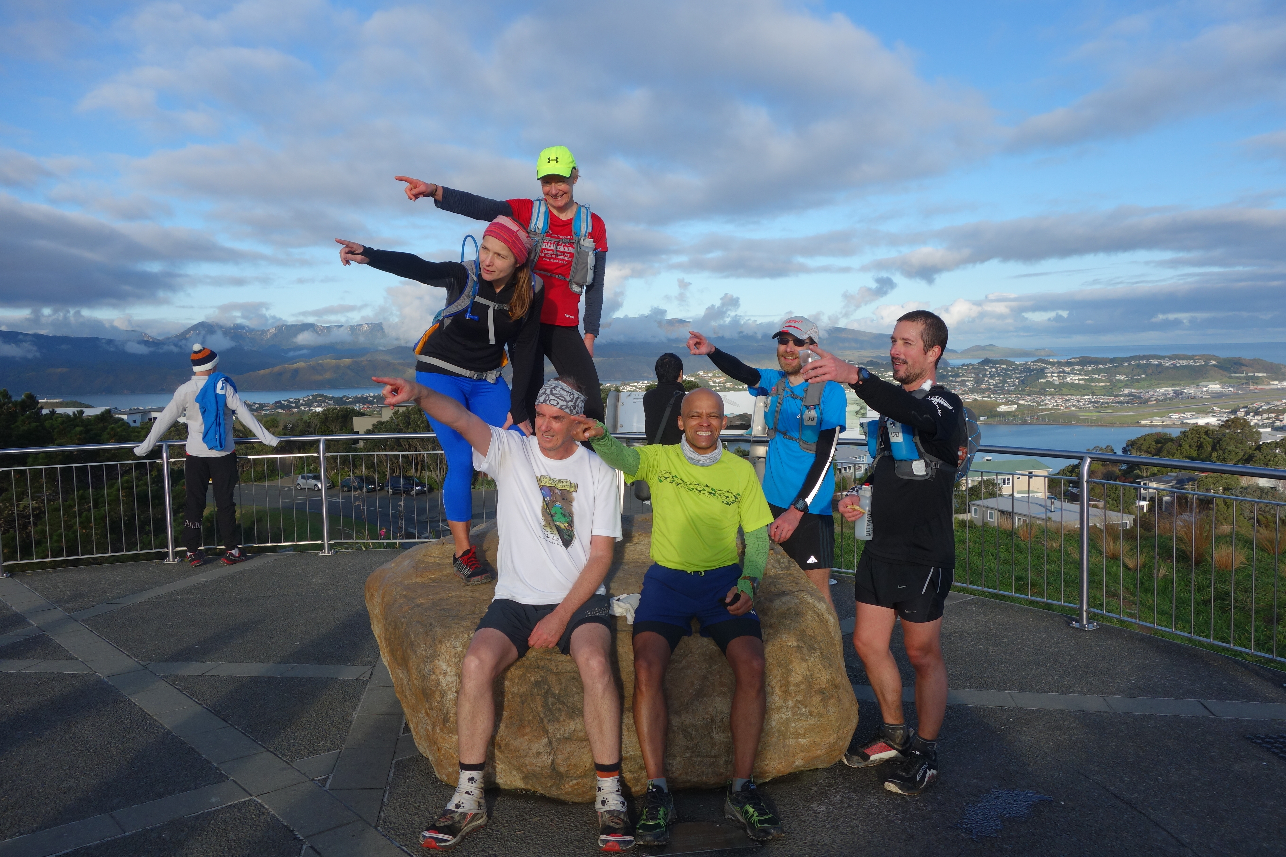
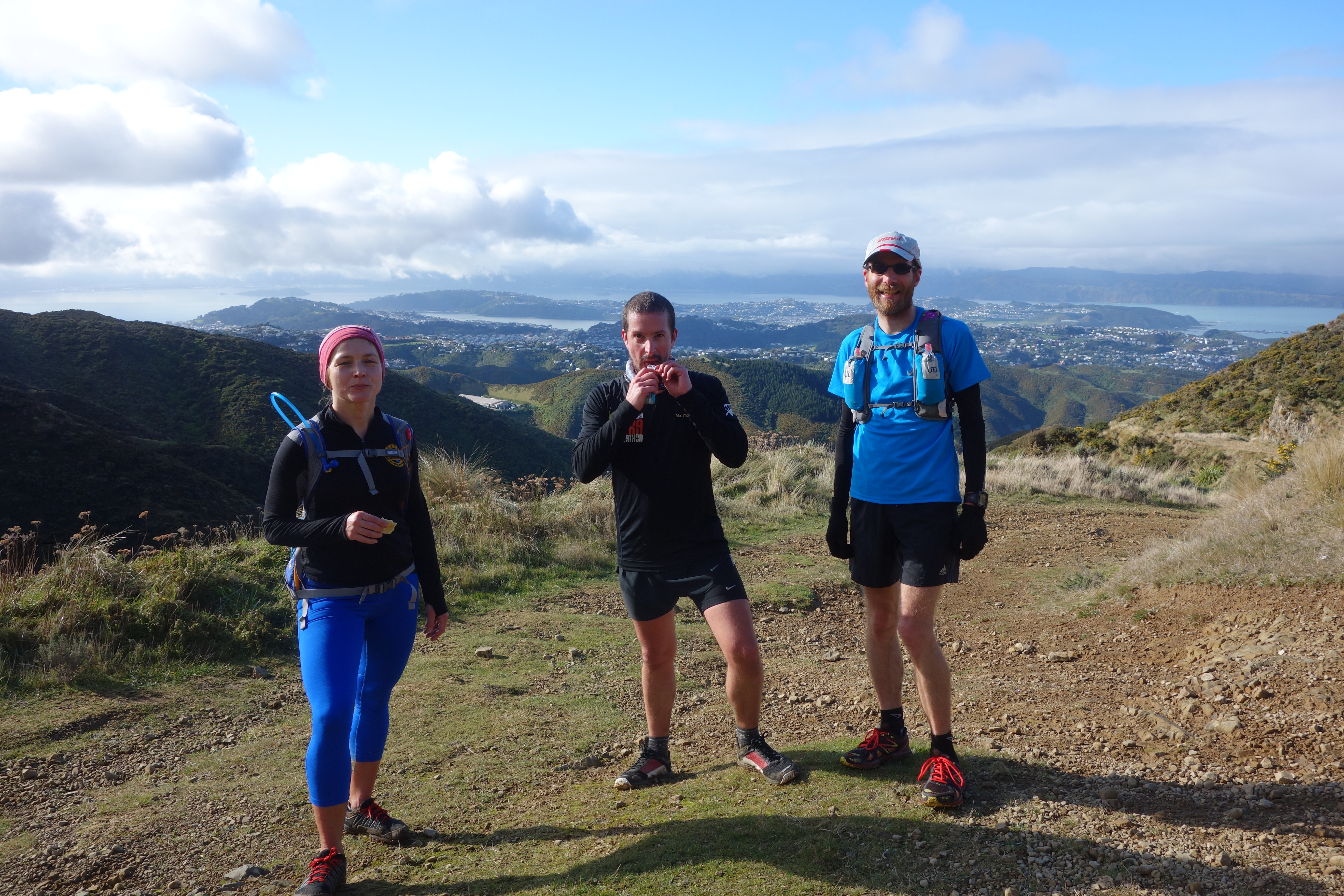
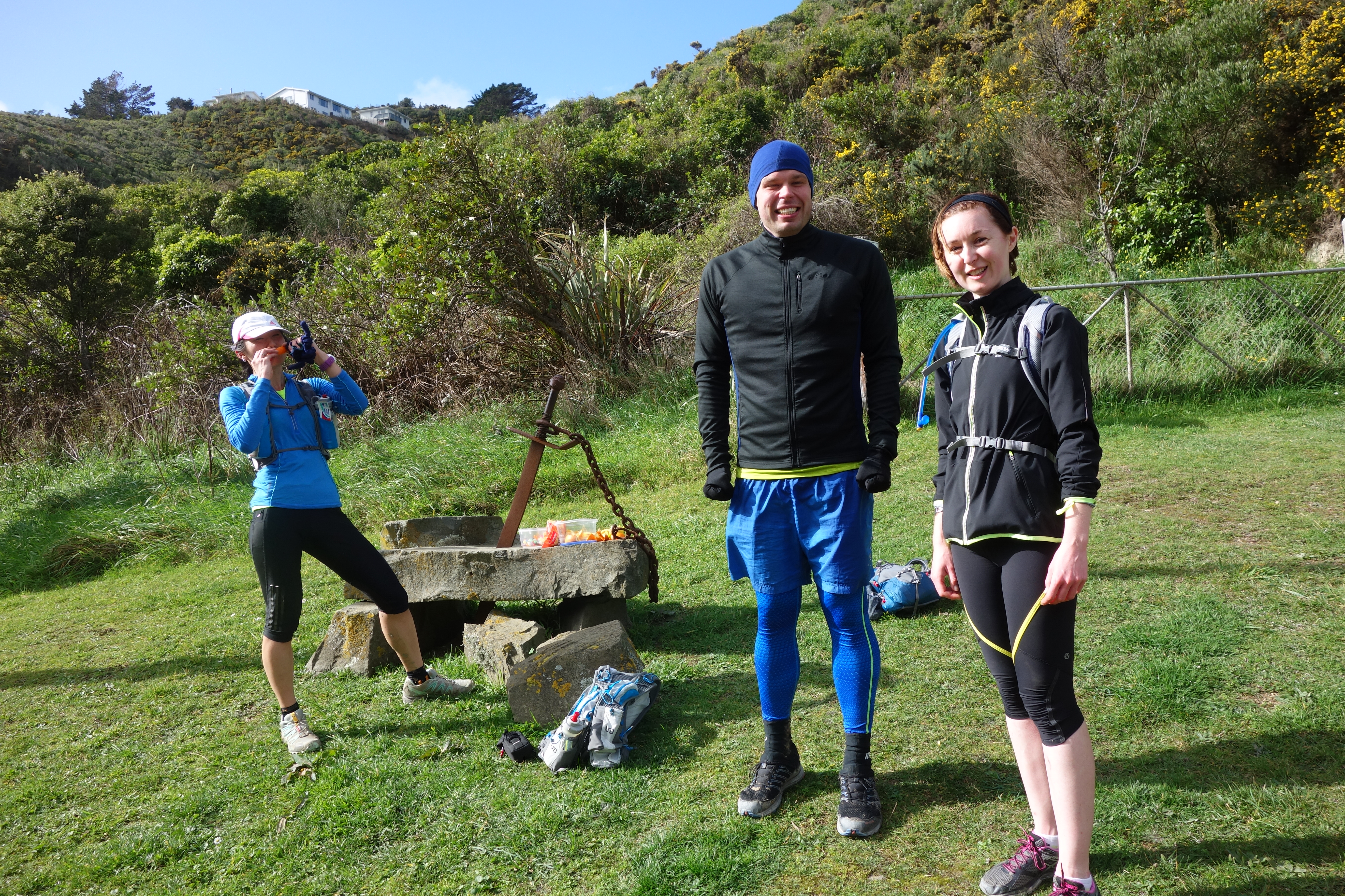
As the person in the group who has run the entire trail previously I’m supposed to be ensuring no Tortoise gets lost or left behind. By rights I should be sitting quietly at the back of the pack rather than leading the way. We quickly separate into two groups so it’s decided that the faster group should forge ahead led by Richard who has done the Makara Peak section before. I wait for Viktor and Mark to catch up. Viktor is particular is always easy to spot and a delight to run with due to his love of colour. He not only wears bright coloured outfits, he is sporting a cobalt blue ensemble set off by a lime green top today, but he also carries rainbow inspired snack food. Usually a bag of yellow and red capsicums.
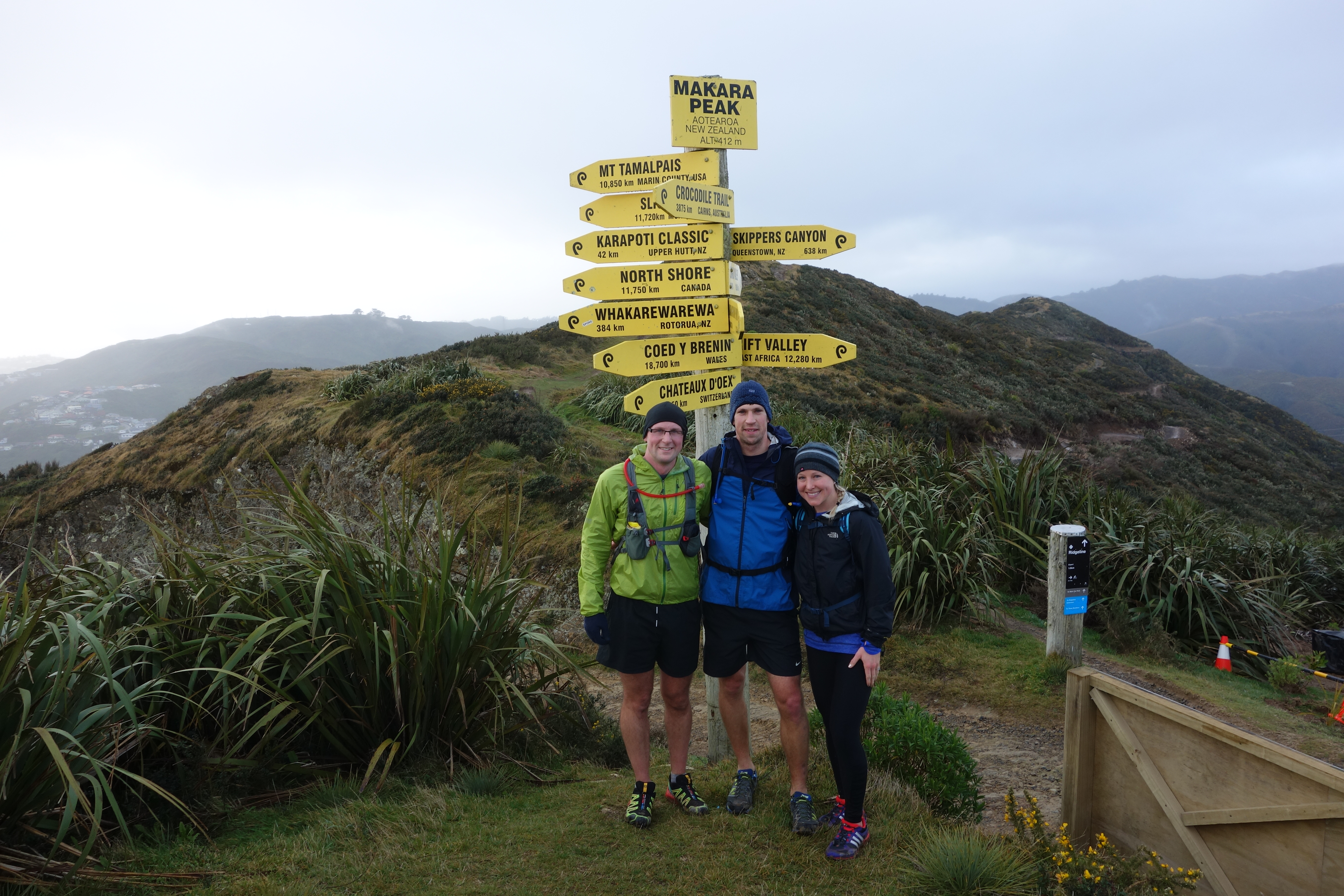
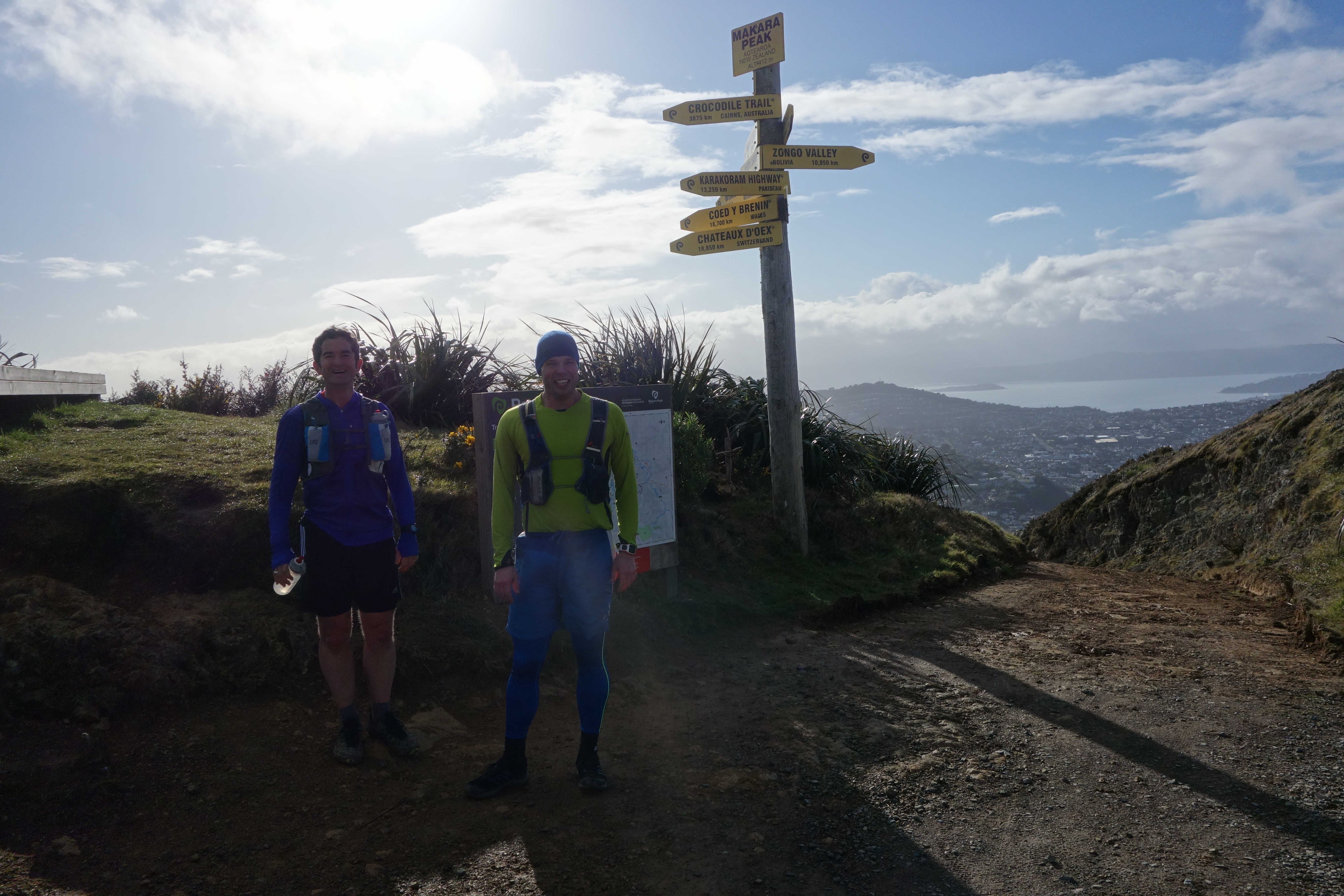
Mucking around Makara Peak
From the Makara Road the trail climbs straight up to Makara Peak home of Wellington’s award winning mountain bike park. Back in 1998 Makara Peak supporters was established to create a world-class bike park with dual use cycling and walking tracks for all skill levels in restored native forest. There is now over 40 kilometres of tracks of all levels of difficulty winding through the hills and gullies at the back of Karori and loads of native trees have been planted amongst the gorse and other shrubs to restore the native forest. This is a wonderful asset and another example of the power of a community uniting to translate a dream into reality.
The Makara Peak climb is the first of the days many climbs where you can see exactly what you are in for before you start. At this stage full disclosure is not too daunting, later it will prove to be a tough mental challenge. From the collection of yellow and black signs and the viewing platform that mark the summit Gareth’s trail takes in a variety of tracks including the Upper Leaping Lizard, Leaping Lizard, Possum Bait Line, Nikau Valley, Missing Link and Lazy Fern. This is potentially one of the more hazardous parts of the run as it is necessary to give way to mountain bikers at rush hour.
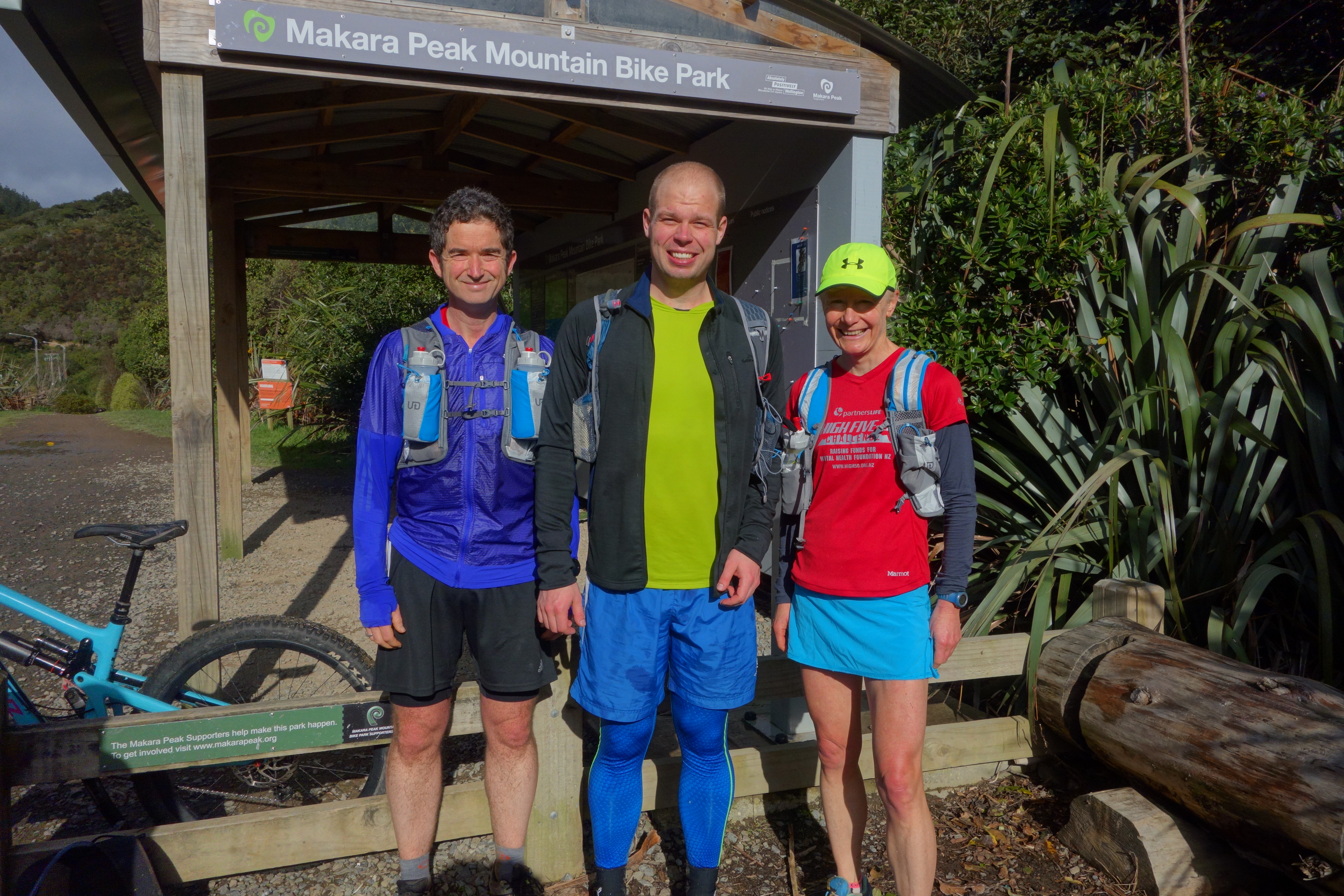
During the July run through most of the group headed down the four-wheel drive track with only a hardy few taking on the single track which involves a lot of up and down. As Viktor, Mark and I are lagging the rest of the Tortoises and I’m suspicious the full route is longer than 50km I decide we may head down the four-wheel drive and the Lazy Fern to the car park at the bottom. This short cut will save by my reckoning a couple of kilometres. My companions don’t object and unlike me they spot the Lazy Fern turnoff while I make it to the car park via a couple of Karori back roads. The main car park has toilets and water taps that provide the first water refill of the day. By coincidence some mountain biking friends arrive as we do.
As we head through the streets in search of Salvation, (the single track that leads up to Wrights Hill not a loftier goal), Viktor points out we need to go right not left where I’m heading. My route finding reputation takes another hit. We run into Julianne who with her infant in tow has kindly given up half her morning to offer her support. She intends to establish a pop up aid station at the car park. We leave her to break the news to the Tortoises that we have leap frogged them and proceed to the bottom of Salvation.
Salvation on Wrights Hill
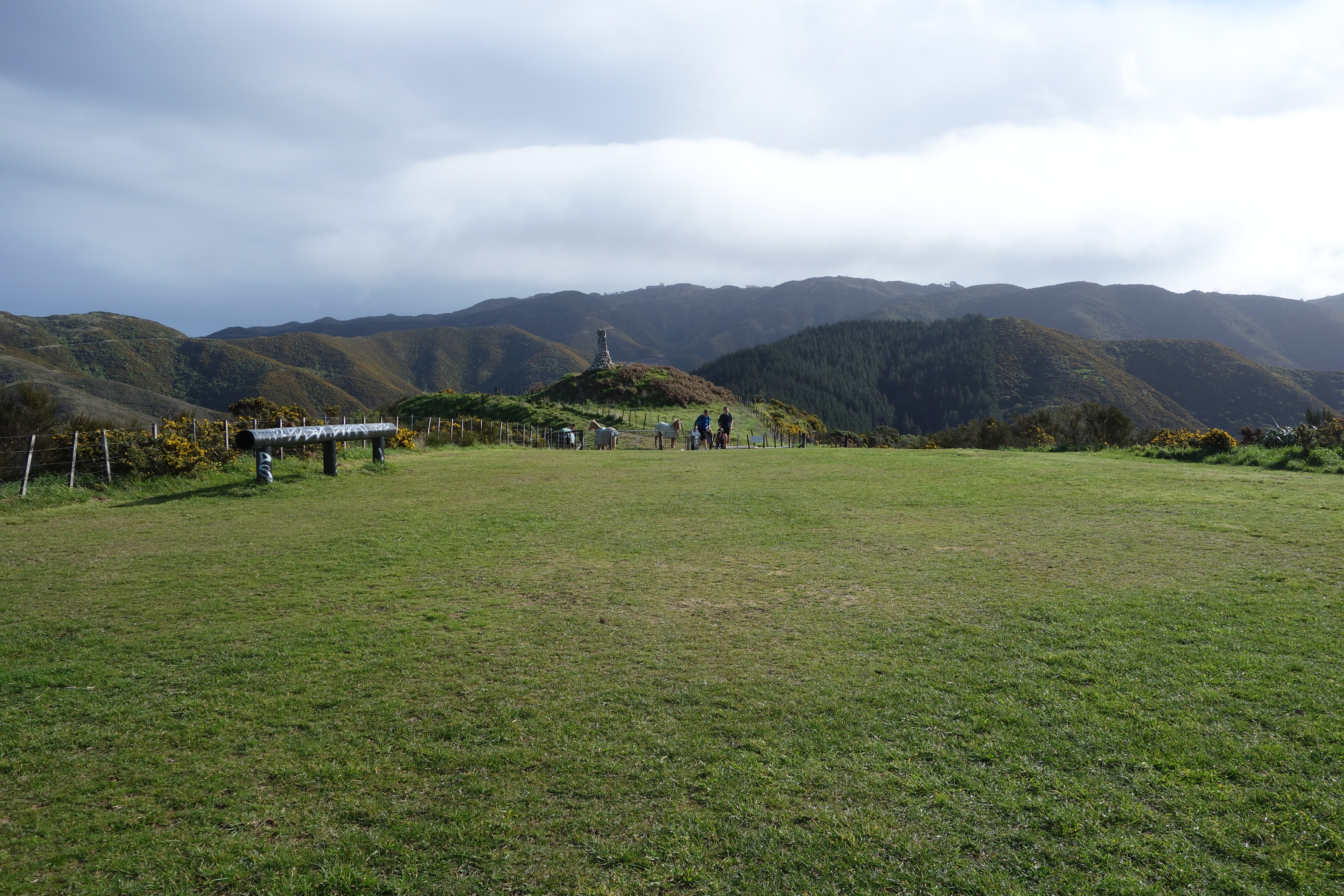
Salvation is a piece of single track that winds its way gradually uphill. It’s fairly muddy but good for chilling out if you’ve just wrecked your legs on the trails at Makara Peak which of course we haven’t. We emerge at the Wrights Hill car park. Wrights Hill is the site of an underground fortress built during WWII to protect Wellington from naval attack. There are a couple of old gun emplacements and over 600m of tunnels that have been restored by another group of dream catchers, the Wrights Hill Fortress Restoration Society. Usually there is no access to this fascinating piece of underground history but a couple of times a year everything is open to the public.
The view from here across the city to Wellington Harbour and the Hutt Valley and Orongorongo and Tararua ranges is stunning. Well worth a quick rest for some photos before we select some more single track to get us to the wildlife sanctuary fence line.


To the Windmill
The Karori Wildlife Sanctuary or the Zealandia Sanctuary as it is now known like Makara bike park consists of regenerating forest. The big difference is the forest is bounded by a special predator free fence. Inside all pests have been removed and many native birds, reptiles and insects introduced. Another dream bagged.
http://www.visitzealandia.com/
Round this conservation island is another classic Wellington trail run/bike track. It’s popular because it is a roughly 9km loop and with a wide clay track and a fence line on one side it is reasonably difficult to get lost. As someone who has some expertise in getting lost I should mention that you have to know when to cut into the bush towards the bottom on the Karori side to avoid precipitous drop offs which sticking religiously to the fence line entail. For at least a year I stuck to the fence line. How I succeeded in not plummeting to my death on descent is a mystery. These days I happily head into the bush. This part of the trail coming as it does towards the half-way point is particularly gruelling as there is no shelter and you must suck up the relentless uphill gradient interspersed sparsely by brief downhill respites. Our near term destination, the Brooklyn windmill is visible on the horizon from some distance away.
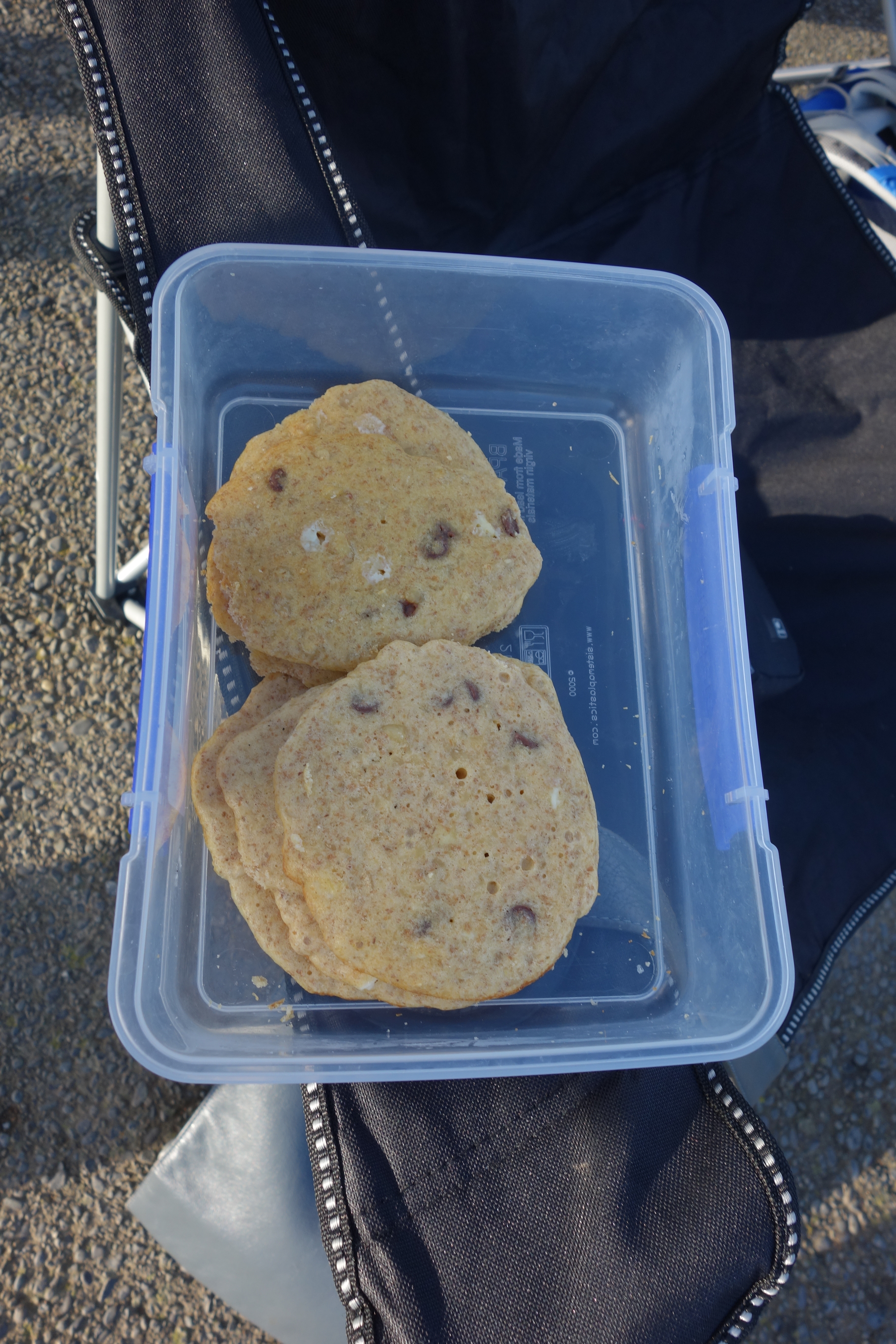
Eventually the windmill draws closer till finally we are under it. Gareth is setting up his aid station. Given we are in Wellington it is appropriate that there is a thermos of fresh coffee as well as a big water container for filling our drink bottles. There is also cake, crisps, bananas and loads of other treats. We are slightly earlier than expected so ‘fess up to our little shortcut. Gareth’s eyebrows shoot up but otherwise he takes our inability to follow the route in his stride. He must be wondering though what part, if any, of tail end Charlie his tale end Charlie understands.
After feeding our faces we say goodbye to Mark who is under his coaches’ orders to do 22km not 50. He reluctantly heads down the Polhill track to Aro Valley. The first time we ran this course injury forced Viktor down at this point too. We did not expect to see him again but he was there at the finish line with a thermos of coffee and delicious home-baked protein cookies. Today we are going all the way. This is both good and bad. Bad because there will not be protein cookies at the end and good because Viktor’s will run his first ever 50km.
Southern Traverse
We spot a rainbow! Not as bright as Viktor but a rainbow nevertheless. We decide this is a good omen for the second part of the course. The next couple of sections are personal favourites. Barking Emu is relatively flat but curvy, a perfect warm up for the gallop across the ridges to the south coast. Running ridges above the southern landfill is far more enjoyable than it sounds. You are so busy admiring the coastal views you forget to glance down at the rubbish and heavy machinery below and the inevitable breezes take care of any odours. I know every undulation well and glide along conserving energy for the coming sections. On a course characterised by wicked climbs the technical down hill to the coast is a highlight. An adrenalin packed minefield of narrow, steep zig zags full of scree playing hide and seek in the gorse. The three kilometre flat track along the south coast to the car park is relatively hard work by comparison but again I’ve done it many times and the coastal views are a treat.
I’m wondering how far behind us the rest of the Tortoise group is so give Gareth a call from the Red Rocks shelter. It turns out they are not far behind at all while the Hares have just cleared the Windmill aid station so remain the same distance behind as when they started. I’m surprised the Hares haven’t caught up as Stu is looking after them and he is a fast runner. Obviously he is taking his tail end Charlie role a little more seriously than I am. I assure Gareth I will wait at the Happy Valley aid station so I can give Tortoises directions for the last sections of the course. By my reckoning we have 10km to go. Time to tackle the business end of this ultra.
Oranges – nectar of the Gods
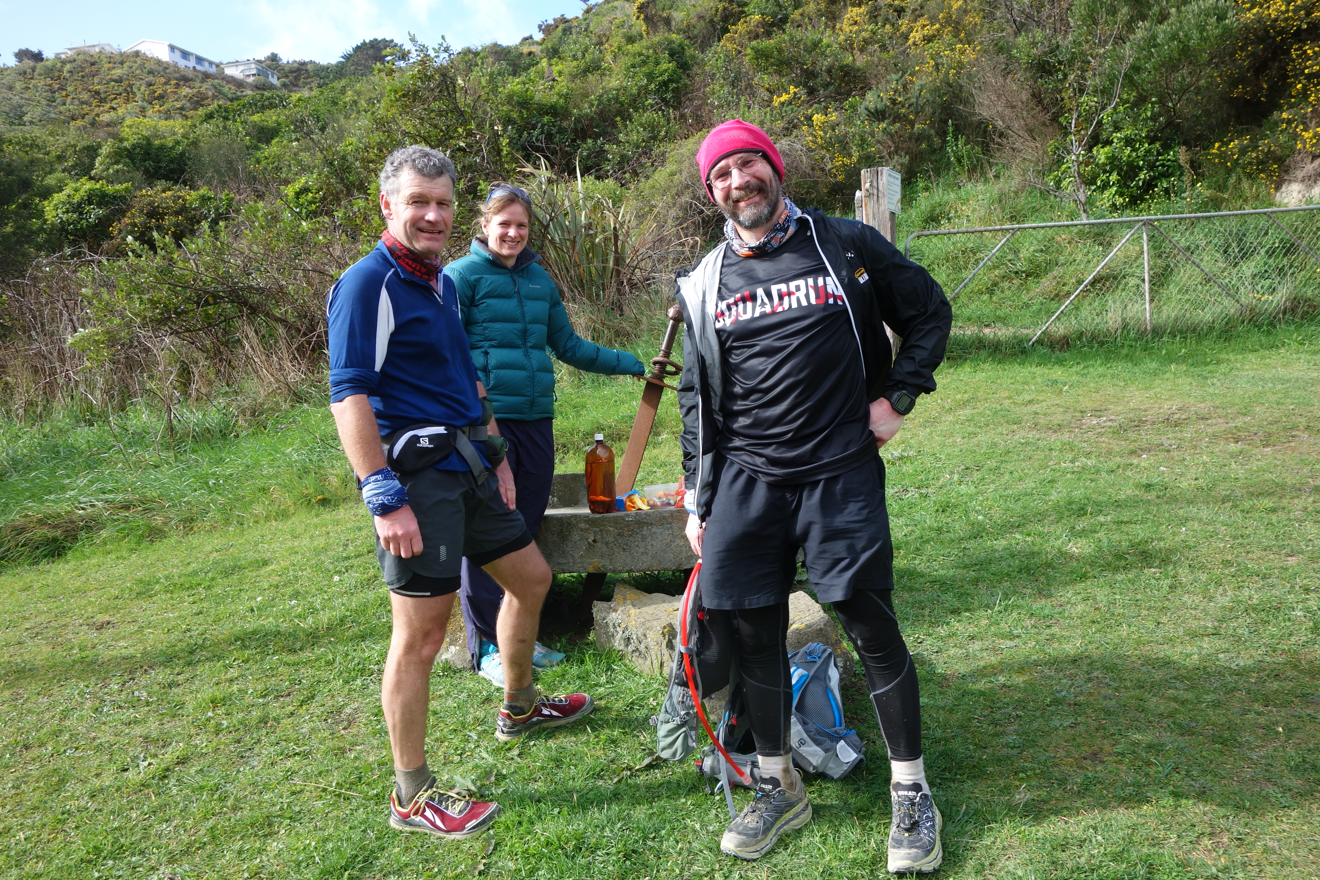
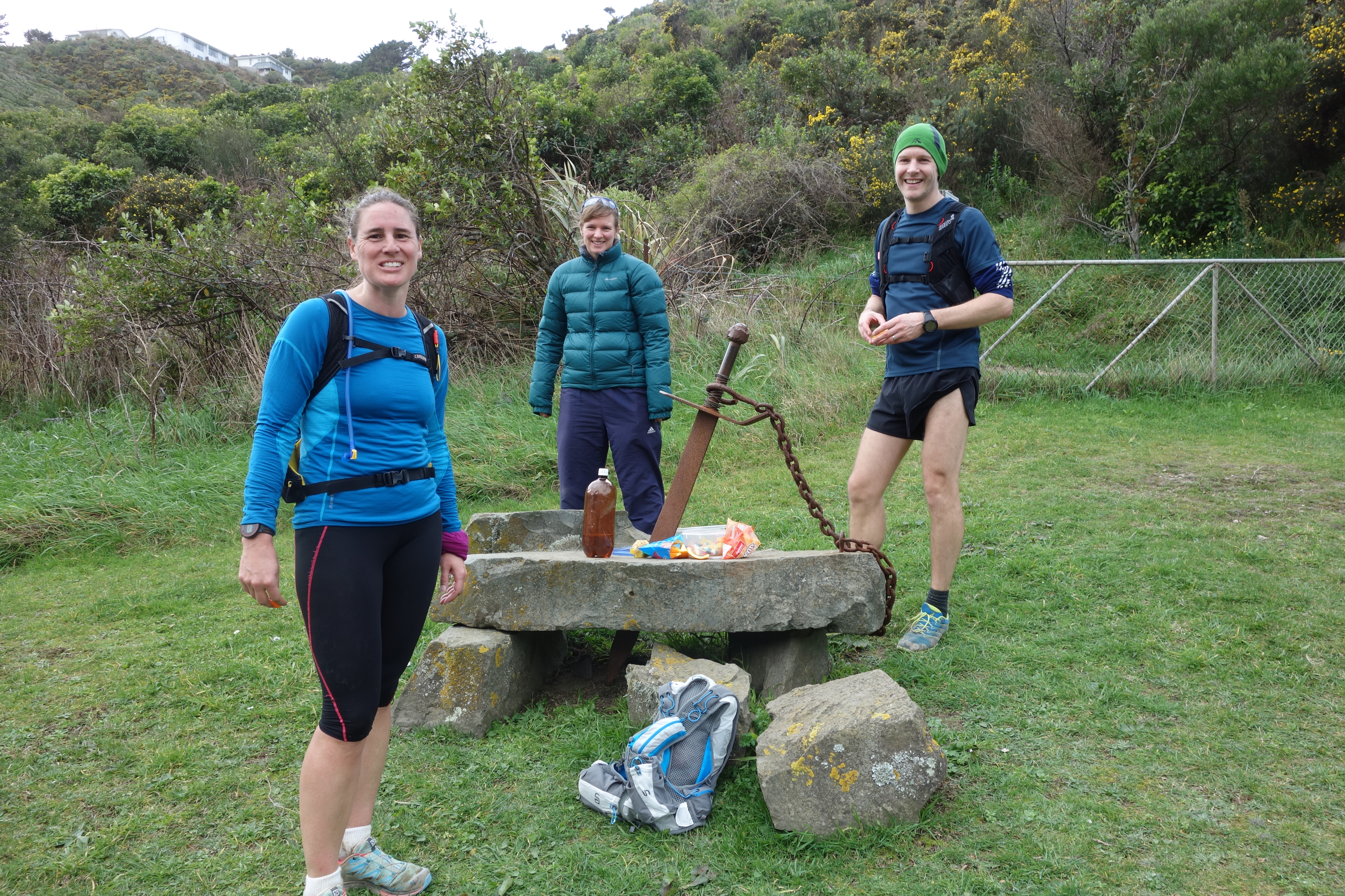
Viktor and I jog along the footpaths to Owhiro Bay then up Happy Valley. The climb is gradual but the pavements’ lack cushioning is tough on tired legs. We run past the entrance to the tip track and I joke about how it’s good that we are not heading up there. We spot Elspeth in the distance setting up the Happy Valley aid station at the anchor and dog sculptures that mark the entrance to the Tawatawa Reserve. Viktor climbs onto the dog for a rest.

Elspeth has invested in a good supply of oranges which she has thoughtfully cut into quarters. This is an inspired choice of aid station refreshments. Juicy oranges look and taste delicious – the perfect fuel as it is starting to get hot and we are regretting our decisions to wear full length tights. We chat with Elspeth until the first of the Tortoises arrive – Haruka, Clive and Kelly. At this stage in a long run if you stay motionless for too long your muscles start to seize up and I’m pretty sure Viktor could do with some new people to talk to so I suggest the team continue. A few vague sounding instructions are delivered in an authoritative voice. I’m actually not too confident of my knowledge of this part of the route but Viktor kindly refrains from relating my errors to date and the others appear to have consulted Gareth’s extensive written directions and seem to know where they are going. I’m reasonably sure they will make it to Mt Vic. I do some more stretching and wait for James and Liz. When they arrive I decide to go on with them. We can see Mark along with Richard coming up Happy Valley Road in the distance, with their arrival all the Tortoises will have made it to Tawatawa.
Tawatawa Torture
Underestimate Tawatawa reserve at your peril. It is one of the most brutal sections of the entire course. There is not much distance between Happy Valley and Adelaide Roads as the crow flies. If only we had wings. Via a series of tight switchbacks the trail winds its way directly up a big hill on a day when big hills have been a constant. By now our legs are well done with hills, they have endured over 40 kilometres of up and down. It’s about now Gareth’s ears should be burning. He is being dubbed Dr Evil. Like Makara Peak from Makara Road and the Brooklyn Windmill when you are plodding up round the sanctuary, the pouwhenua at the top of the hill between Happy Valley and Adelaide road is visible from far below for a very long time before you get to pass it. The pouwhenua signifies the union of Te Rauparaha and his nephew Rangihaeata, an important event in historical terms something we do not fully appreciate as all our mental energy is going into putting one step in front of the other.
Unlike Liz and James I’ve enjoyed a big rest and I’ve also run several kilometres less than they have. Their determination and resilience are inspiring and I try not to sound too chirpy as we brave the main Tawatawa ridge aka the Stairmaster From Hell. What doesn’t kill you makes you stronger. The ridge is an interminable swathe of stairs going down and stairs going up. The stairs are not built at the ideal length and depth for running, nor for walking. We’ve been relying on them all day and still we manage to wring some distraction out of the fantastic coastal views.
Off the stairs the route finding gets tricky. There are lots of ground trails some of which link to the City to Sea walkway, if you get on these you’ll end up back at the south coast rather than Mt Albert. I point out Mt Albert on the skyline and watch Nick and Liz’s smiles tighten into grimaces. No trail looks like the obvious way to go. I start heading south but fortunately Nick has a copy of the detailed route description which he consults and determines we need to head north. We switch left at the first empty bath and left again at the next one. Despite her fatigue Liz selflessly stops to make an arrow out of some sticks to save those following us from making a wrong turn. At the next junction I’m pretty sure we need to take another sharp left down a particularly faint trail but the others are highly motivated to not add any unnecessary mileage and not very trusting of my sense of direction after my previous error so we go straight ahead instead. We end up in the back blocks of Island Bay a bit further south than we want but a bit of road running sees us cross Adelaide road in the correct place by the roundabout with the “Welcome to Island Bay” sign.
Mt Albert arises
Across Adelaide road we have another hill to climb. This ultra has a sting to its tail. We need the BMX track on our left and the Scout den on our right. Liz and Nick are incredulous as I indicate the very steep four-wheel drive track that marks the route. “Yes Gareth is that evil” I assure them. We could duck around the side where the open grassland may offer a slightly more forgiving gradient I offer. I can tell they are tempted but bravely elect to take the prescribed route. Some power climbing ensues. Again the coastal views help take our minds off our legs till we eventually top out on Mt Albert Road. We’re in Melrose now, familiar territory for me, unfamiliar to the others. I’m feeling confident in my route finding now as we follow the pavement and cross the road onto the Southern Walkway. More asphalt takes us up to Mt Albert where we turn north in the direction of the city centre and Mt Victoria our final peak and the finish line.

Crocodile smiles
“We’ve got this” I assure my companions as we head down to Melrose Park and Wellington Zoo. As we cross the football pitch we meet Tom who is helping Gareth with the marshalling. He has been dispatched to ensure that everyone heads left beside the Zoo fence line as there has been some confusion. We follow the fence past a small car park and up a track on the right which leads to Manchester Street in Newtown.

I break into a big grin as we pass homemade signs welcoming us to the coming aid station and promising all manner of treats and entertainment. What a great way to distract tired runners in one of the few places on the course where there are no coastal views! The aid station is run by a big green crocodile. Cam has dressed up for the occasion. He congratulates us and wearing his best crocodile smile serves refreshing cold water drinks infused with lemon slices. There is coke as well, (the drink), delicious cake, chocolate and lots fruit. Elspeth has called ahead to warn that oranges are popular. Even better than all the wonderful refreshments and the amusing signs is the presence of several WoRMers who, while unable to run the route themselves, have given up some of their precious time to come and offer their encouragement. It is at once humbling and highly motivating to encounter supporters so close to the end of a big day out. Kate is on hand to cheer us on with her son and his friend. Alan had also taken a break from his Beervana hangover to come say hallo as have other runners whose names I don’t even know. We chat away and make the most of the refreshments before setting off on the final leg.

Somewhere over the rainbow lies Mt Victoria
The most direct route across Manchester Street is a blind corner, we proceed with care. Liz and Nick let me guide them by whatever means I know through the pine trees to the top of Coromandel Street in Newtown. Down some stairs and back into the green belt on the southern walkway and along the ridge lines gradually climbing all the way to the Mt Vic lookout. I’m fairly sure I’m not hallucinating when I spot another rainbow over Mt Victoria! As I walk up the penultimate hill I look over my shoulder. Nick and Liz are fading fast but still making relentless forward progress. All our fellow Tortoises, Gareth and various WoRM supporters are waiting at the finish line to congratulate us. Somewhere after Tawatawa Richard and Mark effected some strategic route selection to leapfrog us. Everyone is smiling, glad to have completed the epic course. The Mt Victoria aid station houses all the left over goodies from the Windmill aid station.

Liz and I jog up to the very top of Mt Vic with her family for a final look back to the event start point, Mt KauKau. Roughly 7.5 hours after we started we are done. Viktor and I have run 50km, most of the Tortoises and the Hares who arrive about forty minutes later have run closer to 55km. For everyone it’s a memorable day out, a dream come true. Gareth’s dream run is a fantastic urban ultra which will be enjoyed by runners for many years to come.